🎉 Up to 70% Off Selected ItemsShop Sale

Connemara Superwalker Map
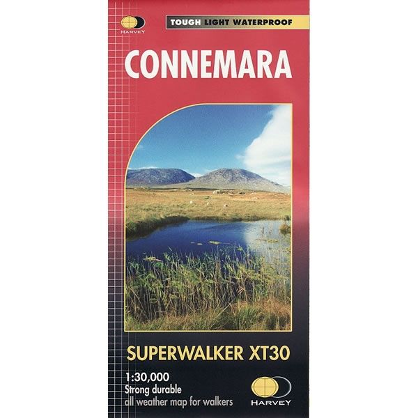
This Connemara Superwalker XT30 Map is a detailed map for hillwalkers covering the Connemara National Park at a scale of 1:30,000. Connemara National Park is a vast expanse of mountains, bogs, heathland and lakes, in western Ireland, in County Galway .
The map includes the Peaks of Twelve Bens and the Maumturks on one sheet, plus an inset of Clifden - the areas main town. Place names are in Gaelic and English and major access routes are also shown.
Superwalker maps are tough, light, durable and 100% waterproof, plus they are easy to re-fold.
The map includes the Peaks of Twelve Bens and the Maumturks on one sheet, plus an inset of Clifden - the areas main town. Place names are in Gaelic and English and major access routes are also shown.
Superwalker maps are tough, light, durable and 100% waterproof, plus they are easy to re-fold.
$7.60
Original: $25.32
-70%Connemara Superwalker Map—
$25.32
$7.60Connemara Superwalker Map
This Connemara Superwalker XT30 Map is a detailed map for hillwalkers covering the Connemara National Park at a scale of 1:30,000. Connemara National Park is a vast expanse of mountains, bogs, heathland and lakes, in western Ireland, in County Galway .
The map includes the Peaks of Twelve Bens and the Maumturks on one sheet, plus an inset of Clifden - the areas main town. Place names are in Gaelic and English and major access routes are also shown.
Superwalker maps are tough, light, durable and 100% waterproof, plus they are easy to re-fold.
The map includes the Peaks of Twelve Bens and the Maumturks on one sheet, plus an inset of Clifden - the areas main town. Place names are in Gaelic and English and major access routes are also shown.
Superwalker maps are tough, light, durable and 100% waterproof, plus they are easy to re-fold.
Product Information
Product Information
Shipping & Returns
Shipping & Returns
Description
This Connemara Superwalker XT30 Map is a detailed map for hillwalkers covering the Connemara National Park at a scale of 1:30,000. Connemara National Park is a vast expanse of mountains, bogs, heathland and lakes, in western Ireland, in County Galway .
The map includes the Peaks of Twelve Bens and the Maumturks on one sheet, plus an inset of Clifden - the areas main town. Place names are in Gaelic and English and major access routes are also shown.
Superwalker maps are tough, light, durable and 100% waterproof, plus they are easy to re-fold.
The map includes the Peaks of Twelve Bens and the Maumturks on one sheet, plus an inset of Clifden - the areas main town. Place names are in Gaelic and English and major access routes are also shown.
Superwalker maps are tough, light, durable and 100% waterproof, plus they are easy to re-fold.