IGN 3531 OT - Megeve and Col des Aravis Walking Map
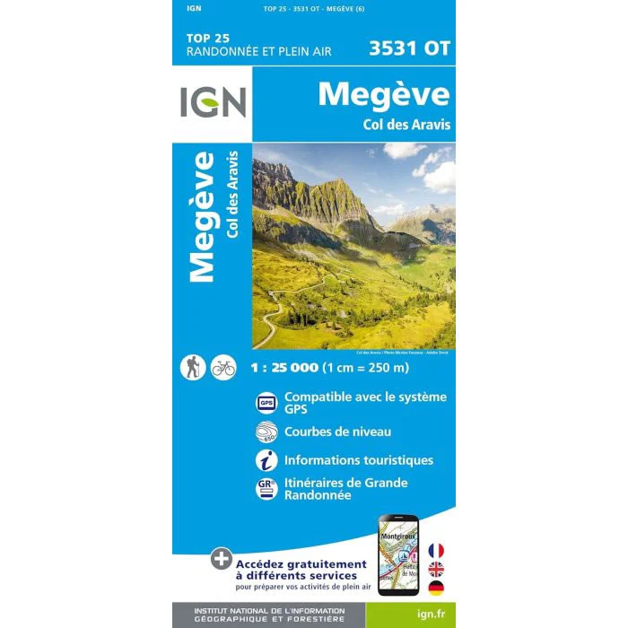
This walking map covers Megève and the Col des Aravis, and includes the towns of Ugine, Beaufort, Combloux, and Praz-sur-Arly.
Published by IGN, the scale of this map is 1:25,000 that converts to 4cm to 1km. The map is GPS compatible with the legend/key is in French, German and English text.
Map Scale is 1:25,000.
IGN map code is 3531OT.
ISBN is 9782758553489.
Original: $25.32
-70%$25.32
$7.60IGN 3531 OT - Megeve and Col des Aravis Walking Map
This walking map covers Megève and the Col des Aravis, and includes the towns of Ugine, Beaufort, Combloux, and Praz-sur-Arly.
Published by IGN, the scale of this map is 1:25,000 that converts to 4cm to 1km. The map is GPS compatible with the legend/key is in French, German and English text.
Map Scale is 1:25,000.
IGN map code is 3531OT.
ISBN is 9782758553489.
Product Information
Product Information
Shipping & Returns
Shipping & Returns
Description
This walking map covers Megève and the Col des Aravis, and includes the towns of Ugine, Beaufort, Combloux, and Praz-sur-Arly.
Published by IGN, the scale of this map is 1:25,000 that converts to 4cm to 1km. The map is GPS compatible with the legend/key is in French, German and English text.
Map Scale is 1:25,000.
IGN map code is 3531OT.
ISBN is 9782758553489.