Irish Discoverer Map 14, Lough Neagh
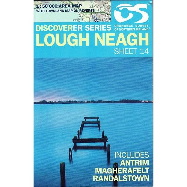
Discoverer Map No. 14 covers Lough Neagh and includes Antrim, Magherafelt and Randalstown. This map also includes Kells, Crumlin, Glenavy, Coargh, Moneymore, Desertmartin, Castledawson, and Bellaghy. The Irish OS Discoverer series of maps cover the whole of Northern Ireland at a scale of 1:50,000.
Scale is 1:50,000.
ISBN is 9781905306657.
Original: $17.30
-70%$17.30
$5.19Irish Discoverer Map 14, Lough Neagh
Discoverer Map No. 14 covers Lough Neagh and includes Antrim, Magherafelt and Randalstown. This map also includes Kells, Crumlin, Glenavy, Coargh, Moneymore, Desertmartin, Castledawson, and Bellaghy. The Irish OS Discoverer series of maps cover the whole of Northern Ireland at a scale of 1:50,000.
Scale is 1:50,000.
ISBN is 9781905306657.
Product Information
Product Information
Shipping & Returns
Shipping & Returns
Description
Discoverer Map No. 14 covers Lough Neagh and includes Antrim, Magherafelt and Randalstown. This map also includes Kells, Crumlin, Glenavy, Coargh, Moneymore, Desertmartin, Castledawson, and Bellaghy. The Irish OS Discoverer series of maps cover the whole of Northern Ireland at a scale of 1:50,000.
Scale is 1:50,000.
ISBN is 9781905306657.