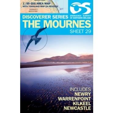
Irish Discoverer Map 29, The Mournes
Discoverer Map No. 29 covers The Mourne Mountains and includes Newry, Warrenpoint, Kilkeel and Newcastle. The map also covers Rostrevor, Carlingford, Annalong, Castlewellan, Rathfriland, Hilltown, Mayobridge, Bessbrook, and Poyntz Pass.
The Irish OS Discoverer series of maps cover the whole of Northern Ireland at a scale of 1:50,000.
Scale is 1:50,000.
ISBN is 9781905306978.
Product Information
Product Information
Shipping & Returns
Shipping & Returns
Description
Discoverer Map No. 29 covers The Mourne Mountains and includes Newry, Warrenpoint, Kilkeel and Newcastle. The map also covers Rostrevor, Carlingford, Annalong, Castlewellan, Rathfriland, Hilltown, Mayobridge, Bessbrook, and Poyntz Pass.
The Irish OS Discoverer series of maps cover the whole of Northern Ireland at a scale of 1:50,000.
Scale is 1:50,000.
ISBN is 9781905306978.