Irish Discovery Map 25, Sligo, Roscommon and Leitrim
Discovery Map No. 25 covers part of Counties Sligo, Roscommon and Leitrim. It includes the towns of Sligo, Tobercurry, Ballymote and Collooney. The Irish OS Discovery series of maps cover the whole of Southern Ireland at a scale of 1:50,000.
Scale is 1:50,000.
ISBN is 9781912140183.
Product Information
Product Information
Shipping & Returns
Shipping & Returns
Description
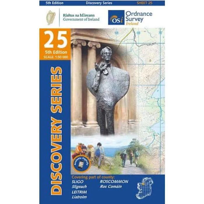
Discovery Map No. 25 covers part of Counties Sligo, Roscommon and Leitrim. It includes the towns of Sligo, Tobercurry, Ballymote and Collooney. The Irish OS Discovery series of maps cover the whole of Southern Ireland at a scale of 1:50,000.
Scale is 1:50,000.
ISBN is 9781912140183.