Irish Discovery Map 64, Clare, Kerry and Limerick
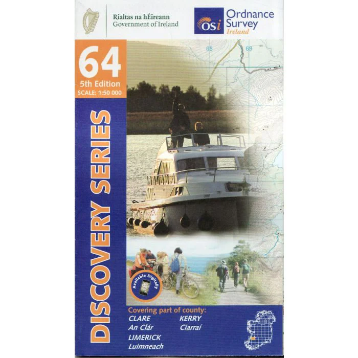
Discovery Map No. 64 covers part of Counties Clare, Kerry and Limerick. It also includes the towns of Tarbert, Foynes, Newcastle West and Rathkeale. The Irish OS Discovery series of maps cover the whole of Southern Ireland at a scale of 1:50,000.
Scale is 1:50,000.
ISBN is 9781912140244.
Original: $17.30
-70%$17.30
$5.19Irish Discovery Map 64, Clare, Kerry and Limerick
Discovery Map No. 64 covers part of Counties Clare, Kerry and Limerick. It also includes the towns of Tarbert, Foynes, Newcastle West and Rathkeale. The Irish OS Discovery series of maps cover the whole of Southern Ireland at a scale of 1:50,000.
Scale is 1:50,000.
ISBN is 9781912140244.
Product Information
Product Information
Shipping & Returns
Shipping & Returns
Description
Discovery Map No. 64 covers part of Counties Clare, Kerry and Limerick. It also includes the towns of Tarbert, Foynes, Newcastle West and Rathkeale. The Irish OS Discovery series of maps cover the whole of Southern Ireland at a scale of 1:50,000.
Scale is 1:50,000.
ISBN is 9781912140244.