🎉 Up to 70% Off Selected ItemsShop Sale

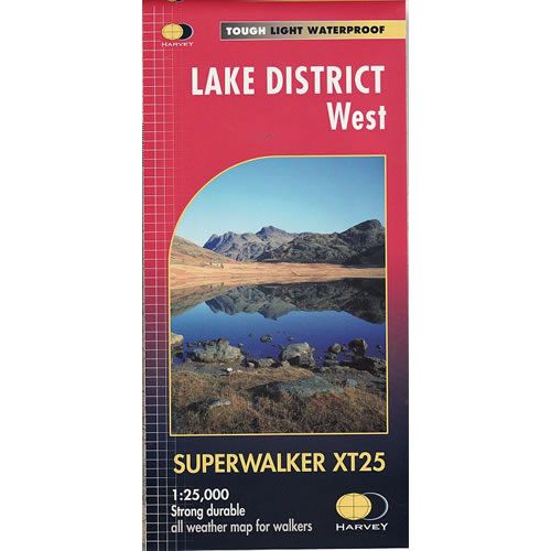
Lake District West XT25 Superwalker Map
This is a detailed map of the western part of the Lake District and is ideal for hillwalkers, hikers, climbers, and cyclists. The map covers Scafell, Langdale, Hard Knott Pass and Wrynose Pass, Ennerdale, Wast Water and Coniston Water.
Published in March 2015 by Harvey Maps, it is printed on light, waterproof and tear-resistant synthetic paper.
Map Scale is 1:25,000 and is GPS compatible.
Published in March 2015 by Harvey Maps, it is printed on light, waterproof and tear-resistant synthetic paper.
Map Scale is 1:25,000 and is GPS compatible.
$7.60
Original: $25.32
-70%Lake District West XT25 Superwalker Map—
$25.32
$7.60Lake District West XT25 Superwalker Map
This is a detailed map of the western part of the Lake District and is ideal for hillwalkers, hikers, climbers, and cyclists. The map covers Scafell, Langdale, Hard Knott Pass and Wrynose Pass, Ennerdale, Wast Water and Coniston Water.
Published in March 2015 by Harvey Maps, it is printed on light, waterproof and tear-resistant synthetic paper.
Map Scale is 1:25,000 and is GPS compatible.
Published in March 2015 by Harvey Maps, it is printed on light, waterproof and tear-resistant synthetic paper.
Map Scale is 1:25,000 and is GPS compatible.
Product Information
Product Information
Shipping & Returns
Shipping & Returns
Description
This is a detailed map of the western part of the Lake District and is ideal for hillwalkers, hikers, climbers, and cyclists. The map covers Scafell, Langdale, Hard Knott Pass and Wrynose Pass, Ennerdale, Wast Water and Coniston Water.
Published in March 2015 by Harvey Maps, it is printed on light, waterproof and tear-resistant synthetic paper.
Map Scale is 1:25,000 and is GPS compatible.
Published in March 2015 by Harvey Maps, it is printed on light, waterproof and tear-resistant synthetic paper.
Map Scale is 1:25,000 and is GPS compatible.