🎉 Up to 70% Off Selected ItemsShop Sale

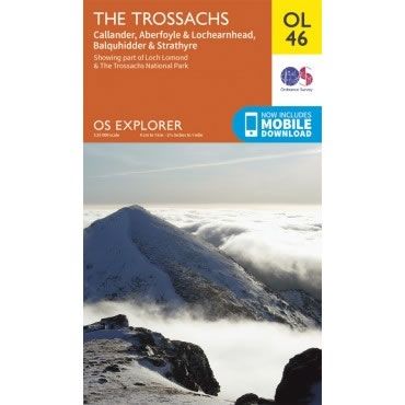
OS Explorer Map OL46 - The Trossachs
This OS Explorer OL46 Map covers the Trossachs, including Callander, Aberfoyle and Lochearnhead, plus Balquhidder and Strathyre.
The map covers the north east part of the Loch Lomond and The Trossachs National Park, including Ben Tulaichean, Ben More, Stob Binnein, Stuc a'Chroin and Ben Vorlich.
The scale of this OL 46 Explorer map is 1:25,000 where 4cm equals 1km, or 2.5 inches equals 1 mile.
With this map you will receive a code for a free mobile download onto your smartphone or tablet (iOS or Android).
Select Map Finish
From $5.21
Original: $17.36
-70%OS Explorer Map OL46 - The Trossachs—
$17.36
$5.21OS Explorer Map OL46 - The Trossachs
This OS Explorer OL46 Map covers the Trossachs, including Callander, Aberfoyle and Lochearnhead, plus Balquhidder and Strathyre.
The map covers the north east part of the Loch Lomond and The Trossachs National Park, including Ben Tulaichean, Ben More, Stob Binnein, Stuc a'Chroin and Ben Vorlich.
The scale of this OL 46 Explorer map is 1:25,000 where 4cm equals 1km, or 2.5 inches equals 1 mile.
With this map you will receive a code for a free mobile download onto your smartphone or tablet (iOS or Android).
The map covers the north east part of the Loch Lomond and The Trossachs National Park, including Ben Tulaichean, Ben More, Stob Binnein, Stuc a'Chroin and Ben Vorlich.
The scale of this OL 46 Explorer map is 1:25,000 where 4cm equals 1km, or 2.5 inches equals 1 mile.
With this map you will receive a code for a free mobile download onto your smartphone or tablet (iOS or Android).
Product Information
Product Information
Shipping & Returns
Shipping & Returns
Description
This OS Explorer OL46 Map covers the Trossachs, including Callander, Aberfoyle and Lochearnhead, plus Balquhidder and Strathyre.
The map covers the north east part of the Loch Lomond and The Trossachs National Park, including Ben Tulaichean, Ben More, Stob Binnein, Stuc a'Chroin and Ben Vorlich.
The scale of this OL 46 Explorer map is 1:25,000 where 4cm equals 1km, or 2.5 inches equals 1 mile.
With this map you will receive a code for a free mobile download onto your smartphone or tablet (iOS or Android).
The map covers the north east part of the Loch Lomond and The Trossachs National Park, including Ben Tulaichean, Ben More, Stob Binnein, Stuc a'Chroin and Ben Vorlich.
The scale of this OL 46 Explorer map is 1:25,000 where 4cm equals 1km, or 2.5 inches equals 1 mile.
With this map you will receive a code for a free mobile download onto your smartphone or tablet (iOS or Android).