🎉 Up to 70% Off Selected ItemsShop Sale

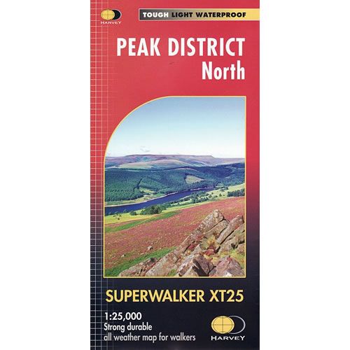
Peak District North XT25 Superwalker Map
This is a detailed map of the northern part of the Peak District and is ideal for hillwalkers and hikers. The map shows the Dark Peak from Snake Pass north to Marsden, including Bleaklow, Black Hill and Derwent Reservoir.
Published in March 2015 by Harvey Maps, it is printed on light, waterproof and tear-resistant synthetic paper.
Map Scale is 1:25,000 and is GPS compatible.
Published in March 2015 by Harvey Maps, it is printed on light, waterproof and tear-resistant synthetic paper.
Map Scale is 1:25,000 and is GPS compatible.
$25.32
Peak District North XT25 Superwalker Map—
$25.32
Peak District North XT25 Superwalker Map
This is a detailed map of the northern part of the Peak District and is ideal for hillwalkers and hikers. The map shows the Dark Peak from Snake Pass north to Marsden, including Bleaklow, Black Hill and Derwent Reservoir.
Published in March 2015 by Harvey Maps, it is printed on light, waterproof and tear-resistant synthetic paper.
Map Scale is 1:25,000 and is GPS compatible.
Published in March 2015 by Harvey Maps, it is printed on light, waterproof and tear-resistant synthetic paper.
Map Scale is 1:25,000 and is GPS compatible.
Product Information
Product Information
Shipping & Returns
Shipping & Returns
Description
This is a detailed map of the northern part of the Peak District and is ideal for hillwalkers and hikers. The map shows the Dark Peak from Snake Pass north to Marsden, including Bleaklow, Black Hill and Derwent Reservoir.
Published in March 2015 by Harvey Maps, it is printed on light, waterproof and tear-resistant synthetic paper.
Map Scale is 1:25,000 and is GPS compatible.
Published in March 2015 by Harvey Maps, it is printed on light, waterproof and tear-resistant synthetic paper.
Map Scale is 1:25,000 and is GPS compatible.