Pembrokeshire Coast Path Map Booklet
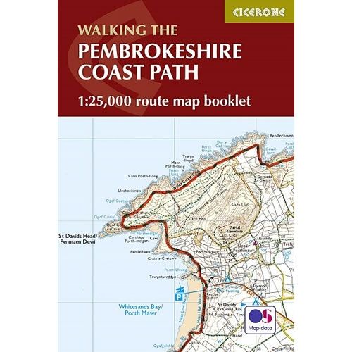
This Cicerone Booklet is a map of the complete Pembrokeshire Coast Path between Amroth and St Dogmaels. The route is 182 mile (291km) long, and the booklet shows the full route using OS mapping at a scale of 1:25,000. The route typically takes 2 weeks to walk, and is suitable for walkers at all levels of experience.
Original: $15.97
-70%$15.97
$4.79Pembrokeshire Coast Path Map Booklet
This Cicerone Booklet is a map of the complete Pembrokeshire Coast Path between Amroth and St Dogmaels. The route is 182 mile (291km) long, and the booklet shows the full route using OS mapping at a scale of 1:25,000. The route typically takes 2 weeks to walk, and is suitable for walkers at all levels of experience.
Product Information
Product Information
Shipping & Returns
Shipping & Returns
Description
This Cicerone Booklet is a map of the complete Pembrokeshire Coast Path between Amroth and St Dogmaels. The route is 182 mile (291km) long, and the booklet shows the full route using OS mapping at a scale of 1:25,000. The route typically takes 2 weeks to walk, and is suitable for walkers at all levels of experience.