🎉 Up to 70% Off Selected ItemsShop Sale

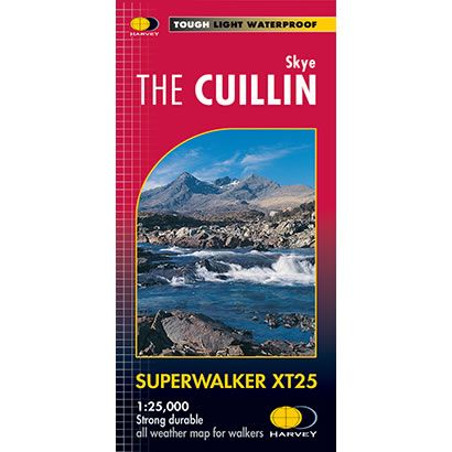
Skye the Cuillin XT25 Superwalker Map
This is a detailed map of the full Cuillin Ridge from Glen Brittle to Broadford on the Isle of Skye at a scale of 1:25,000. It includes both the Black Cuillin in the west and Red Cuillin is the east, and is an ideal map for hillwalkers and climbers. In addition on the rear of the map is an enlargement of the Black Cuillin ridge at a scale of 1:12,500.
This map shows 12 Munros including the Innaccessible Pinnacle, Am Basteir, Sgurr nan Gillean, and Sgurr Alasdair, plus 2 Corbetts, and it is GPS compatible.
Published by Harvey Maps, it is printed on light, waterproof and tear-resistant synthetic paper.
This map shows 12 Munros including the Innaccessible Pinnacle, Am Basteir, Sgurr nan Gillean, and Sgurr Alasdair, plus 2 Corbetts, and it is GPS compatible.
Published by Harvey Maps, it is printed on light, waterproof and tear-resistant synthetic paper.
$7.60
Original: $25.32
-70%Skye the Cuillin XT25 Superwalker Map—
$25.32
$7.60Skye the Cuillin XT25 Superwalker Map
This is a detailed map of the full Cuillin Ridge from Glen Brittle to Broadford on the Isle of Skye at a scale of 1:25,000. It includes both the Black Cuillin in the west and Red Cuillin is the east, and is an ideal map for hillwalkers and climbers. In addition on the rear of the map is an enlargement of the Black Cuillin ridge at a scale of 1:12,500.
This map shows 12 Munros including the Innaccessible Pinnacle, Am Basteir, Sgurr nan Gillean, and Sgurr Alasdair, plus 2 Corbetts, and it is GPS compatible.
Published by Harvey Maps, it is printed on light, waterproof and tear-resistant synthetic paper.
This map shows 12 Munros including the Innaccessible Pinnacle, Am Basteir, Sgurr nan Gillean, and Sgurr Alasdair, plus 2 Corbetts, and it is GPS compatible.
Published by Harvey Maps, it is printed on light, waterproof and tear-resistant synthetic paper.
Product Information
Product Information
Shipping & Returns
Shipping & Returns
Description
This is a detailed map of the full Cuillin Ridge from Glen Brittle to Broadford on the Isle of Skye at a scale of 1:25,000. It includes both the Black Cuillin in the west and Red Cuillin is the east, and is an ideal map for hillwalkers and climbers. In addition on the rear of the map is an enlargement of the Black Cuillin ridge at a scale of 1:12,500.
This map shows 12 Munros including the Innaccessible Pinnacle, Am Basteir, Sgurr nan Gillean, and Sgurr Alasdair, plus 2 Corbetts, and it is GPS compatible.
Published by Harvey Maps, it is printed on light, waterproof and tear-resistant synthetic paper.
This map shows 12 Munros including the Innaccessible Pinnacle, Am Basteir, Sgurr nan Gillean, and Sgurr Alasdair, plus 2 Corbetts, and it is GPS compatible.
Published by Harvey Maps, it is printed on light, waterproof and tear-resistant synthetic paper.