🎉 Up to 70% Off Selected ItemsShop Sale

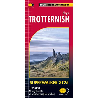
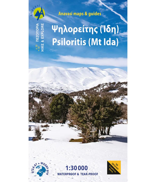
Skye Trotternish XT25 Superwalker Map
This is a detailed map of the whole of the Trotternish Ridge on the island of Skye at a scale of 1:25,000. The map also shows the Old Man of Storr and the Quiraing, plus 2 Grahams, and is GPS compatible.
Published by Harvey Maps, it is printed on light, waterproof and tear-resistant synthetic paper.
Published by Harvey Maps, it is printed on light, waterproof and tear-resistant synthetic paper.
$25.32
Skye Trotternish XT25 Superwalker Map—
$25.32
Skye Trotternish XT25 Superwalker Map
This is a detailed map of the whole of the Trotternish Ridge on the island of Skye at a scale of 1:25,000. The map also shows the Old Man of Storr and the Quiraing, plus 2 Grahams, and is GPS compatible.
Published by Harvey Maps, it is printed on light, waterproof and tear-resistant synthetic paper.
Published by Harvey Maps, it is printed on light, waterproof and tear-resistant synthetic paper.
Product Information
Product Information
Shipping & Returns
Shipping & Returns
Description
This is a detailed map of the whole of the Trotternish Ridge on the island of Skye at a scale of 1:25,000. The map also shows the Old Man of Storr and the Quiraing, plus 2 Grahams, and is GPS compatible.
Published by Harvey Maps, it is printed on light, waterproof and tear-resistant synthetic paper.
Published by Harvey Maps, it is printed on light, waterproof and tear-resistant synthetic paper.