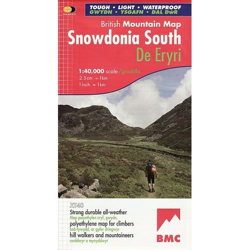
Snowdonia South Map including Cadair Idris
This Snowdonia South Map details the key mountains of Southern part of Snowdonia National Park (De Eryri), on one map at a scale of 1:40,000. Key mountains covered are Cadair Idris, the Arans and Arenig Fawr.
Harvey British Mountain Maps are light, strong, durable, all-weather 100% waterproof maps for hillwalkers, mountaineers, and climbers.
Scale is 1:40,000.
ISBN is 9781851374694.
Product Information
Product Information
Shipping & Returns
Shipping & Returns
Description
This Snowdonia South Map details the key mountains of Southern part of Snowdonia National Park (De Eryri), on one map at a scale of 1:40,000. Key mountains covered are Cadair Idris, the Arans and Arenig Fawr.
Harvey British Mountain Maps are light, strong, durable, all-weather 100% waterproof maps for hillwalkers, mountaineers, and climbers.
Scale is 1:40,000.
ISBN is 9781851374694.