🎉 Up to 70% Off Selected ItemsShop Sale

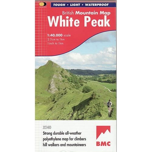
White Peak District Map
This White Peak Map details the hills and dales of the White Peak District on a single map at a scale of 1:40,000. The White Peak represents the southern part of the Peak District, and this map includes Buxton, Matlock Bakewekk, and Ilam.
Harvey British Mountain Maps are light, strong, durable, all-weather 100% waterproof maps for hillwalkers, mountaineers, and climbers.
Harvey British Mountain Maps are light, strong, durable, all-weather 100% waterproof maps for hillwalkers, mountaineers, and climbers.
$30.66
White Peak District Map—
$30.66
White Peak District Map
This White Peak Map details the hills and dales of the White Peak District on a single map at a scale of 1:40,000. The White Peak represents the southern part of the Peak District, and this map includes Buxton, Matlock Bakewekk, and Ilam.
Harvey British Mountain Maps are light, strong, durable, all-weather 100% waterproof maps for hillwalkers, mountaineers, and climbers.
Harvey British Mountain Maps are light, strong, durable, all-weather 100% waterproof maps for hillwalkers, mountaineers, and climbers.
Product Information
Product Information
Shipping & Returns
Shipping & Returns
Description
This White Peak Map details the hills and dales of the White Peak District on a single map at a scale of 1:40,000. The White Peak represents the southern part of the Peak District, and this map includes Buxton, Matlock Bakewekk, and Ilam.
Harvey British Mountain Maps are light, strong, durable, all-weather 100% waterproof maps for hillwalkers, mountaineers, and climbers.
Harvey British Mountain Maps are light, strong, durable, all-weather 100% waterproof maps for hillwalkers, mountaineers, and climbers.