🎉 Up to 70% Off Selected ItemsShop Sale

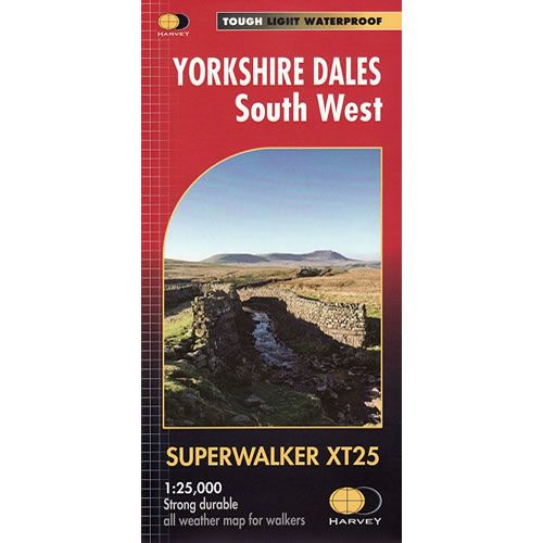
Yorkshire Dales South West XT25 Superwalker Map
This is a detailed map of the south western part of the Yorkshire Dales National Park and is ideal for hillwalkers, hikers, climbers, and cyclists. This Yorkshire Dales South West map covers the Yorkshire Three Peaks of Whernside, Ingleborough and Pen-y-ghent. Also included on the map are the towns of Kirkby Lonsdale, Dent and Hawes in the Yorkshire Dales.
Published in February 2016 by Harvey Maps, it is printed on light, waterproof and tear-resistant synthetic paper.
Map Scale is 1:25,000 and is GPS compatible.
Published in February 2016 by Harvey Maps, it is printed on light, waterproof and tear-resistant synthetic paper.
Map Scale is 1:25,000 and is GPS compatible.
$25.32
Yorkshire Dales South West XT25 Superwalker Map—
$25.32
Yorkshire Dales South West XT25 Superwalker Map
This is a detailed map of the south western part of the Yorkshire Dales National Park and is ideal for hillwalkers, hikers, climbers, and cyclists. This Yorkshire Dales South West map covers the Yorkshire Three Peaks of Whernside, Ingleborough and Pen-y-ghent. Also included on the map are the towns of Kirkby Lonsdale, Dent and Hawes in the Yorkshire Dales.
Published in February 2016 by Harvey Maps, it is printed on light, waterproof and tear-resistant synthetic paper.
Map Scale is 1:25,000 and is GPS compatible.
Published in February 2016 by Harvey Maps, it is printed on light, waterproof and tear-resistant synthetic paper.
Map Scale is 1:25,000 and is GPS compatible.
Product Information
Product Information
Shipping & Returns
Shipping & Returns
Description
This is a detailed map of the south western part of the Yorkshire Dales National Park and is ideal for hillwalkers, hikers, climbers, and cyclists. This Yorkshire Dales South West map covers the Yorkshire Three Peaks of Whernside, Ingleborough and Pen-y-ghent. Also included on the map are the towns of Kirkby Lonsdale, Dent and Hawes in the Yorkshire Dales.
Published in February 2016 by Harvey Maps, it is printed on light, waterproof and tear-resistant synthetic paper.
Map Scale is 1:25,000 and is GPS compatible.
Published in February 2016 by Harvey Maps, it is printed on light, waterproof and tear-resistant synthetic paper.
Map Scale is 1:25,000 and is GPS compatible.