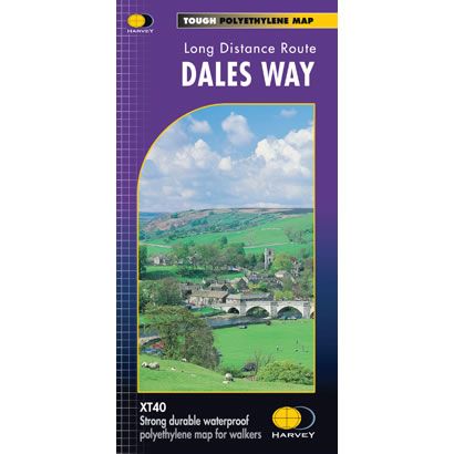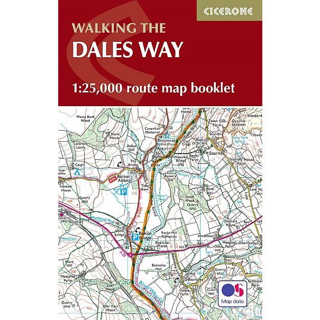
Dales Way Map Booklet
This Cicerone Booklet is a map of the complete of the Dales Way through the Yorkshire Dales between Ilkley and Bowness-on-Windermere. This trail is 79 miles (127km) long, and the booklet shows the full route using OS mapping at a scale of 1:25,000. The trail is one of the most gentle multi-day walks in Britain, and it passes through Grassington, Kettlewell, Dent, Sedbergh and Staveley.
Published in August 2021 (revised 2nd edition) by Cicerone Press.
Product Information
Product Information
Shipping & Returns
Shipping & Returns
Description
This Cicerone Booklet is a map of the complete of the Dales Way through the Yorkshire Dales between Ilkley and Bowness-on-Windermere. This trail is 79 miles (127km) long, and the booklet shows the full route using OS mapping at a scale of 1:25,000. The trail is one of the most gentle multi-day walks in Britain, and it passes through Grassington, Kettlewell, Dent, Sedbergh and Staveley.
Published in August 2021 (revised 2nd edition) by Cicerone Press.