🎉 Up to 70% Off Selected ItemsShop Sale

Hadrian's Wall Path Map Booklet
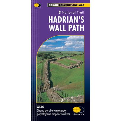
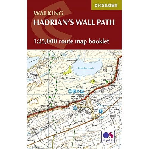
This Cicerone Booklet is a map of the complete of the Hadrian's Wall Path between Bowness-on-Solway in Cumbria to Wallsend in Newcastle. This National Trail is 84 miles (135km) long, and the booklet shows the full route using OS mapping at a scale of 1:25,000. The trail typically takes a week to walk, and is suitable for walkers at all levels of experience.
$6.39
Original: $21.31
-70%Hadrian's Wall Path Map Booklet—
$21.31
$6.39Hadrian's Wall Path Map Booklet
This Cicerone Booklet is a map of the complete of the Hadrian's Wall Path between Bowness-on-Solway in Cumbria to Wallsend in Newcastle. This National Trail is 84 miles (135km) long, and the booklet shows the full route using OS mapping at a scale of 1:25,000. The trail typically takes a week to walk, and is suitable for walkers at all levels of experience.
Product Information
Product Information
Shipping & Returns
Shipping & Returns
Description
This Cicerone Booklet is a map of the complete of the Hadrian's Wall Path between Bowness-on-Solway in Cumbria to Wallsend in Newcastle. This National Trail is 84 miles (135km) long, and the booklet shows the full route using OS mapping at a scale of 1:25,000. The trail typically takes a week to walk, and is suitable for walkers at all levels of experience.