🎉 Up to 70% Off Selected ItemsShop Sale

South Downs Way XT40 Harvey Map
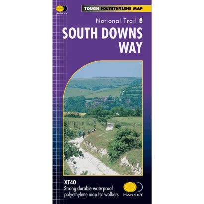
This is a complete map of the South Downs Way National Trail Path showing the entire route on 1 sheet. This long distance path starts at Winchester and goes along the crest of the chalk downs of Hampshire and Sussex to Eastbourne. The South Downs Way National Trail is suitable for walkers, cyclists and horse riders, and the map clearly shows some with alternative routes.
The map includes logistical information for walking the South Downs Way, including accommodation options, shops and refreshments. Directions to the start of the route are included plus enlargements of the local towns and villages showing what facilities are available.
Harvey XT40 Maps are printed on light, waterproof and tear-resistant synthetic paper, and it is GPS compatible. The map key and legend is in English, French and German text.
$26.66
South Downs Way XT40 Harvey Map—
$26.66
South Downs Way XT40 Harvey Map
This is a complete map of the South Downs Way National Trail Path showing the entire route on 1 sheet. This long distance path starts at Winchester and goes along the crest of the chalk downs of Hampshire and Sussex to Eastbourne. The South Downs Way National Trail is suitable for walkers, cyclists and horse riders, and the map clearly shows some with alternative routes.
The map includes logistical information for walking the South Downs Way, including accommodation options, shops and refreshments. Directions to the start of the route are included plus enlargements of the local towns and villages showing what facilities are available.
Harvey XT40 Maps are printed on light, waterproof and tear-resistant synthetic paper, and it is GPS compatible. The map key and legend is in English, French and German text.
The map includes logistical information for walking the South Downs Way, including accommodation options, shops and refreshments. Directions to the start of the route are included plus enlargements of the local towns and villages showing what facilities are available.
Harvey XT40 Maps are printed on light, waterproof and tear-resistant synthetic paper, and it is GPS compatible. The map key and legend is in English, French and German text.
Product Information
Product Information
Shipping & Returns
Shipping & Returns
Description
This is a complete map of the South Downs Way National Trail Path showing the entire route on 1 sheet. This long distance path starts at Winchester and goes along the crest of the chalk downs of Hampshire and Sussex to Eastbourne. The South Downs Way National Trail is suitable for walkers, cyclists and horse riders, and the map clearly shows some with alternative routes.
The map includes logistical information for walking the South Downs Way, including accommodation options, shops and refreshments. Directions to the start of the route are included plus enlargements of the local towns and villages showing what facilities are available.
Harvey XT40 Maps are printed on light, waterproof and tear-resistant synthetic paper, and it is GPS compatible. The map key and legend is in English, French and German text.
The map includes logistical information for walking the South Downs Way, including accommodation options, shops and refreshments. Directions to the start of the route are included plus enlargements of the local towns and villages showing what facilities are available.
Harvey XT40 Maps are printed on light, waterproof and tear-resistant synthetic paper, and it is GPS compatible. The map key and legend is in English, French and German text.